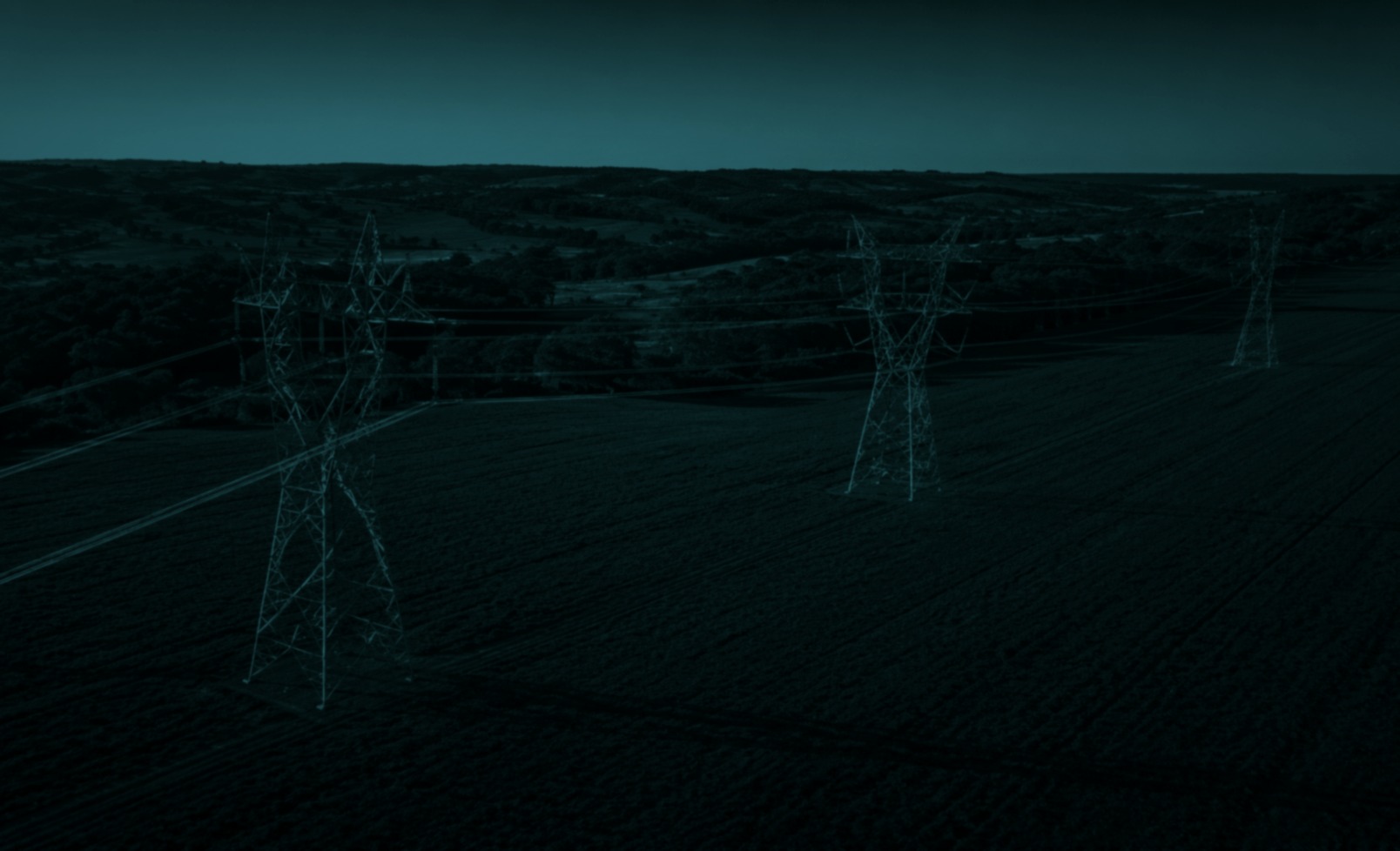
top of page

Drone Intelligence for Critical Decisions

Transforming Drone Data into Actionable Intelligence

AI-powered drone intelligence for critical decisions. Our enterprise platform transforms aerial video, imagery, and sensor data into trusted outcomes for public-safety, utilities, energy, and critical infrastructure

Trusted Outcomes

Edgegenix applies AI to drone video and sensor data to deliver decision-grade operational intelligence for high-stakes industries

Asset Longevity

Extend the lifecycle of critical infrastructure through precise, repeat-path monitoring and predictive data trends.

Rapid Insight

Accelerate decision cycles with automated data processing and enterprise-wide visibility of field operations.

Strategic Compliance

Meet rigorous regulatory standards with auditable, high-resolution documentation of every asset and environment.

Minimized Risk

Eliminate human exposure to hazardous environments by deploying advanced autonomous systems in extreme conditions.

Industry Solutions

AI-powered aerial intelligence across the most demanding operational environments—built for safety, compliance, and asset integrity

Fire & Smoke

AI-assisted thermal and visual intelligence to verify fire incidents fast, map hotspots, and support safer response decisions.

Deliverables: Hotspot map • Perimeter layer • Situation report

Utilities

AI-assisted inspection for power networks—identifying faults, vegetation encroachment, and priority risks across large corridors.

Deliverables: Defect list • Clearance risk map • Work priority report

Vegetation / Land / Forestry

Corridor-scale vegetation intelligence—detecting encroachment, clearance risk, and change over time for proactive planning.

Deliverables: Encroachment map • Change detection • Evidence pack

Mining & Industrial

Site-scale aerial intelligence for safer operations—volumetrics, change detection, and remote inspections across complex assets.

Deliverables: Stockpile volumes • Change report • Inspection imagery set

Agriculture & Environmental

Land and crop monitoring at scale—detecting early change signals to guide targeted field action and conservation.

Deliverables: Health map • Change layers • Survey report

Oil & Gas

Right-of-way and facility intelligence—monitoring corridors for encroachments and anomalies to support integrity programs.

Deliverables: ROW exception report • Anomaly log • Audit-ready visuals

How We Work

Objective
Plan
Capture
Process
Act

Customer defines the outcome

Safe flight plan + compliance

Drone video + thermal + sensor inputs

Edge triage + AI analysis → cloud analytics

Alerts, maps + audit-ready reports

Why Edgegenix

  • Security-first by design
  • Human-in-the-loop decision support
  • Edge + cloud deployment
  • Integration-ready outputs for GIS/asset management
EDGEGENIX PTY LTD

Ready to Scale Your Drone Intelligence?

Empower your enterprise with trusted outcomes and actionable data. Connect with our specialists in Fire & Smoke, Utilities, and Oil & Gas today.

bottom of page